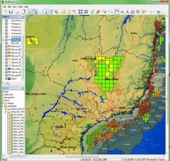
GeoBrowse is a geographical information system (GIS) for querying multiple databases. It lets you make rapid visual comparisons of information stored across disparate databases and presents the data in a composite map view. It also provides optional supporting spreadsheet data views and reporting functionality.
GeoBrowse is Tigress Limited GIS-based database integration and data interrogation tool. It is the industry’s first “off-the-shelf” GIS system that offers real-time querying of multiple databases.
GeoBrowse can be linked rapidly to a variety of data sources. It provides a unique approach to dynamic database querying, letting you visualise data from multiple databases and compare them through a PC-based common map view. Map data is displayed in a consistent, user-defined coordinate system with projects and datum conversions handled by GeoBrowse on the fly.
GeoBrowse queries live into your company’s databases, so that data queried is always current. No data movement, manipulation or reloading is required, making GeoBrowse easy to use and easy to maintain.
Main Features:
- Ease of use
- Connectivity
- Data management and display
Comments